
Cameroon Weather, climate and geography
Weather and climate
Best time to visit
The south is hot and dry November-February. The main rainy season is June-October. Temperatures in the north vary. On the Adamaoua Plateau, temperatures drop sharply at night; the rainy season is May-October. Grassland areas inland are much cooler than the coast with regular rainfall. The best months to visit are January- April.
Required clothing
Lightweight cotton clothes, canvas or light leather shoes or sandals. Waterproofs are advised for coastal areas.
Geography
Situated on the west coast of Africa, Cameroon is bordered to the west by the Gulf of Guinea, to the northwest by Nigeria, to the northeast by Chad (with Lake Chad at its northern tip), to the east by the Central African Republic and to the south by Congo-Brazzaville (Republic of the Congo), Gabon and Equatorial Guinea.
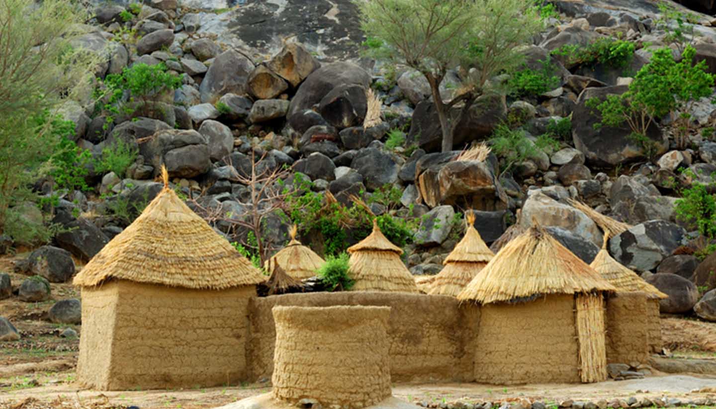
The far north of the country is a semi-desert broadening into the vast Maroua Plain, with game reserves and mineral deposits. This is bordered to the west by the lush Mandara Mountains; the Benue River rises here and flows westwards into the Niger.
The country to the northwest is particularly striking: volcanic peaks covered by bamboo forest rise to over 2,000m (6,500ft), with waterfalls and villages scattered over the lower slopes. Further to the south and west are savannah uplands, while dense forest covers the east and south. The highest peak, at 4,095m (13,434ft) is Mount Cameroon, which lies close to the coast. The humid coastal strip is tropical, with a mixture of rainforest and farmland.
The River Wouri, which flows southwest into the Gulf of Guinea, inspired the country's name after 15th-century Portuguese sailor Fernando Po's spoke of the Rio dos Cameroes (river of shrimps).