
Panama Weather, climate and geography
Weather and climate
Best time to visit
Temperatures are high across the whole country throughout the year, though cooler at high altitudes. The rainy season lasts from May to November, but even at this time of year rain rarely lasts all day – just take an umbrella for the downpours; the sun will be out again soon. There are fewer people around at this time, too, and so prices drop for the low season. Rainfall is twice as heavy on the Pacific coast as it is on the lowlands of the Caribbean coast.
If you are planning to take a boat trip from Panama to >Colombia, avoid travelling from December to February, as at this time of year the seas are rough, trips get cancelled and everyone gets seasick.
Surfing is possible and decent all year round on the Pacific side, but the best months are from November to April. For hiking, the dry season (December to April) is most comfortable. The dry season is also good for diving, because you’ll be able to see far better, but the rainy season means the rivers run high which is great for rafting.
Required clothing
Lightweight cottons and linens are worn, with rainwear advisable, particularly in the rainy season. However, keep it light: just because it rains doesn’t mean it gets cold. Warmer clothes are needed in the highlands, especially in the dry season. If hiking and camping at a higher altitude, things can get very chilly indeed – make sure your sleeping bag can handle it. Hiking boots are great for the mountains, but most of the time you’ll be in flip-flops. Forget your mosquito repellent at your peril, and a mosquito net might come in handy too.
Geography
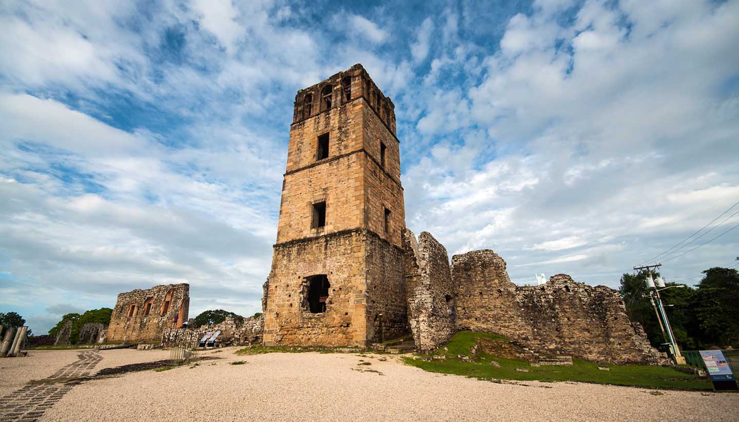
Panama forms the land link between the North and South American continents. It borders Colombia to the east, Costa Rica to the west, and the Caribbean and the Pacific Ocean to the north and south. The country forms an S-shaped isthmus, which runs east-west over a total length of 772km (480 miles) and is 60 to 177km (37 to 110 miles) wide. The landscape is mountainous with lowlands on both coastlines cut by streams, wooded slopes and a wide area of savannah-covered plains and rolling hills called El Interior between the Azuero peninsula and the Central Mountains. To the east is the Darién province which is a humid area of swamp and forest with few inhabitants. The Darién Gap is the missing link in the Panamerican Highway, as extending the road through the dense jungle would be costly and environmentally destructive.
The Caribbean and the Pacific Ocean are linked by the man-made Panama Canal, cut into a gap between the Cordillera de Talamanca and the San Blas mountain range and stretching for over 65km (40 miles); the length of the canal is often referred to as 80km (50 miles) as this is the distance between deep-water points of entry.
Only about a quarter of the country is inhabited. The majority of the population live either around the canal and main cities of Panama City and Colón (the two cities which control the entrance and exit of the canal) or in the Pacific lowlands and the adjacent mountains.