
Honduras Weather, climate and geography
Weather and climate
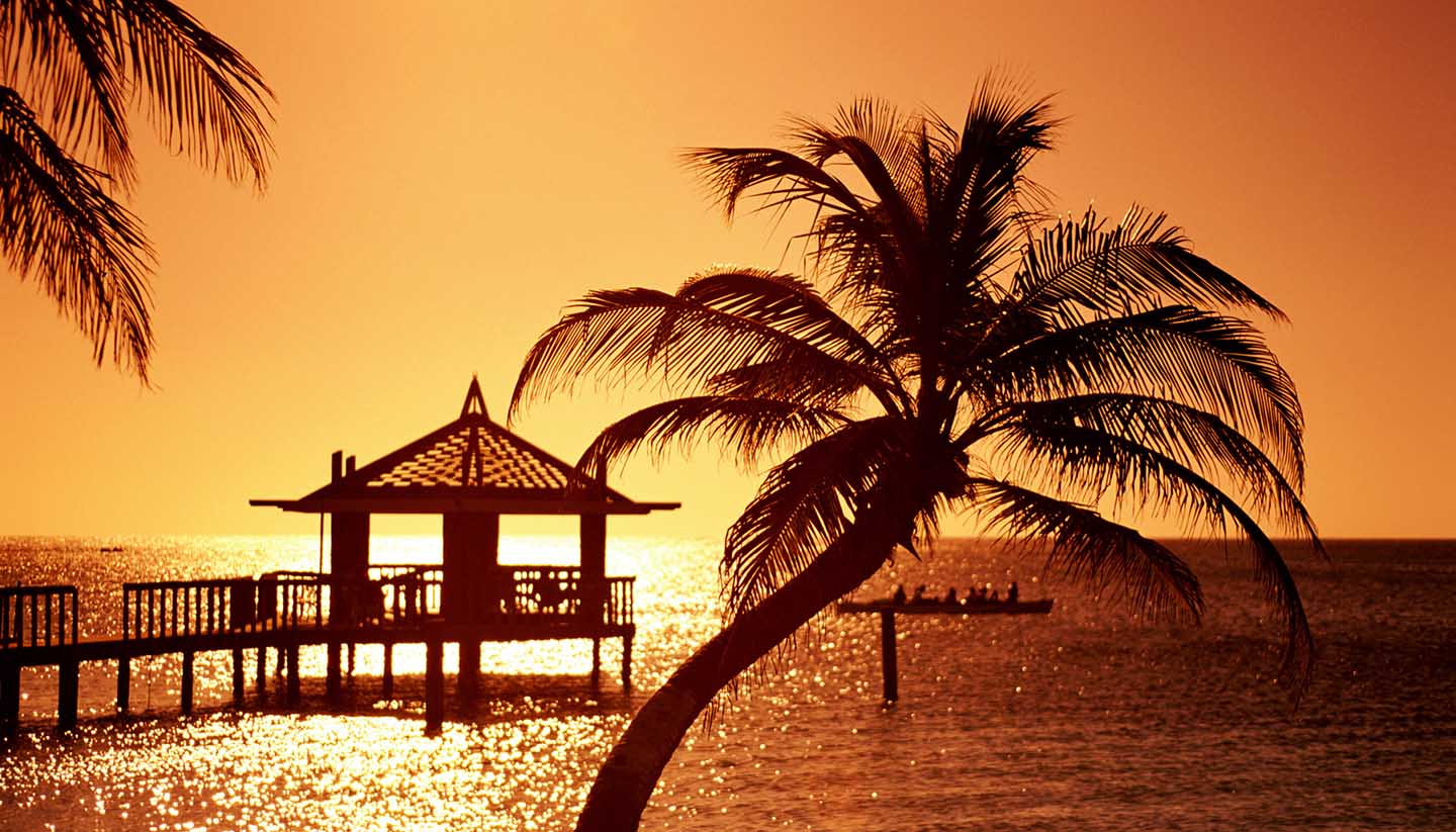
Best time to visit
The climate is tropical with cooler, more temperate weather in the mountains with temperatures ranging from 16°C (61°F) to 20°C (68°F). The north coast is very hot with rain throughout the year, and though the offshore breezes temper the climate, the sun is very strong. The dry season is from November to April and the wet season runs from May to October.
Despite their proximity to the mainland the Bay Islands have a slightly different, subtropical climate. The temperatures along the Caribbean coast and island range from 24°C (75°F) to 34°C (93°F) and, in contrast to the mainland, the rainy season in the Bay Islands is from July to January, with the rainiest months being October through early January. The remainder of the year is usually very dry. The southern Pacific Coast tends to be hot and dry with temperatures between 28° (82°F) to 32°C (90°F).
The Caribbean hurricane season is between June and November and although the Bay Islands and Caribbean coast of Honduras are outside the typical hurricane path, they do often receive the tail end of tropical storms or hurricanes during this time.
The main high season in Honduras is between January and June, although this extends to September for the Bay Islands. The intense rainy season can hinder much travel, and roads are often blocked due to rock slides and flooding. Activities such as kayaking and white water rafting are best done after the height of the rainy season, and while scuba diving centres in the Bay Islands are open year-round, the high season is in the dry season. Whale shark sightings off the islands can be done year-round but chances are higher in March and April. Semana Santa is the busiest time of the year for the islands and accommodation should be booked long in advance. In La Moskitia region, the drier seasons of February to May and August to November are the best for travel.
Required clothing
Lightweight cottons and linens; warmer clothes are recommended between November and February and in the mountains. Waterproofs are needed for the wet season.
Geography
Honduras shares borders in the southeast with Nicaragua, in the west with Guatemala, and in the southwest with El Salvador. To the north lies the Caribbean, with which it has 669 km (416 miles) of coastline and to the south, the Pacific Ocean. The interior of the country comprises a central mountain system running from east to west, cut by rivers flowing into both the Caribbean and Pacific. The lowlands in the south form a plain along the Pacific coast, while the highest point in the country is Cerro Las Minas at 2,870m (9,416 ft) above sea level.
The Gulf of Fonseca in the southwest contains many islands which have volcanic peaks. The large fertile valleys of the northern Caribbean lowlands are cultivated with banana plantations. However, large areas of land in Honduras are unsuitable for cultivation. The majority of the population lives in the western half of the country, while the second-largest concentration of people is in the Cortés area which extends northwards from Lake Yojoa towards the Caribbean.
Along the Caribbean shore is the virtually uninhabited La Moskitia Coast. The Bay Islands, which consist of Roatan, Utila and Guanaja (along with Cayos Cochinos) are located to the north of the country, a few miles off the coast of La Ceiba. They are low-lying islands, surrounded by many cays, and are part of the Mesoamerican Barrier Reef.