
Kiribati travel guide
About Kiribati
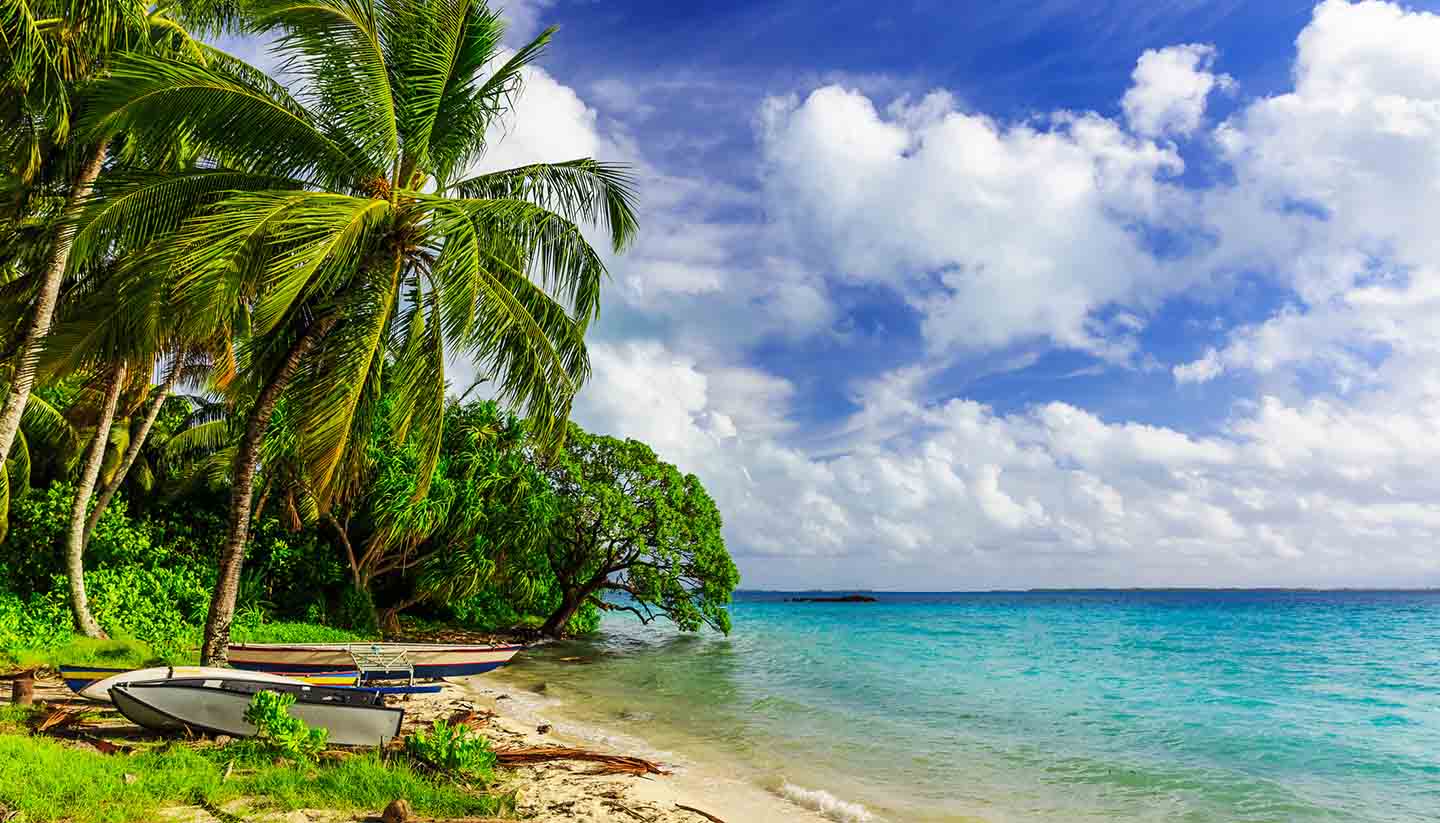
White sandy beaches and crystal-clear lagoon waters characterise the Republic of Kiribati, which is made up of over 30 coral islands scattered across the Pacific. Kiribati is remote, and the tourism industry remains very much in its infancy – all the more reason to visit sooner rather than later.
They may be relatively unknown, but the isles are peppered with swaying coconut palms, swathed in balmy breezes, and waters glistening in every direction. And so it's hard to feel anything other than intense holiday escapism. While lazing on desolate beaches is a huge draw, Kiribati does have an interesting population of both human and wildlife.
Capital Tarawa is fast becoming one of the most densely populated areas in the Pacific, while Christmas Island, stretching for almost half the land mass of Kiribati, is carpeted with lakes and ponds great for game fishing, and boasts some of the largest colonies of birds.
Other islands include Phoenix, Line and Gilbert – during British rule in the 19th and 20th centuries, Kiribati was known as the Gilbert Islands. In World War II, the islands were occupied by Japan, while in the post-war era the US and UK used Christmas island for nuclear weapons tests. The islands finally became independent in 1979.
Despite Kiribati's colonial history, many of its islands have remained much the same as they've ever been. Locals live off breadfruit, fish and coconuts to this day. The inhabitants of the main island Tarawa also continue to live in raised thatched huts like their ancestors.
You needn't fear a total separation from civilisation, however, as bars, cinemas, cars and the internet are increasingly a part of life in Kiribati. The people aren't unwelcoming, but you're more likely to be greeted by the children than adults, who tend to eye visitors cautiously. Once you break the ice, you'll find a fascinating culture, and plenty of glorious nature to explore.
The tiny nation is only 800 km sq, but if you include the many atolls, this rises to a 3.5 million km square-swathe of the Pacific. Better get the swimming costume on.
Key facts
811 sq km (313 sq miles).
114,405 (UN estimate 2016).
130.3 per sq km.
Tarawa.
Republic.
President Taneti Mamau since 2016.
President Taneti Mamau since 2016.
Travel Advice
Global travel impacts due to escalation in the Middle East
Escalation in the Middle East has caused widespread travel disruption, including airspace closures, delayed and cancelled flights.
Your travel plans may be affected, even if your destination is not in the Middle East. Before you travel:
- check travel advice for any countries or territories you are transiting through
- check for the latest updates from your airline or tour operator
- review your travel insurance policy for coverage
- monitor local and international media for the latest information and sign up for travel advice email alerts
Before you travel
No travel can be guaranteed safe. Read all the advice in this guide. You may also find it helpful to:
- see general advice for women travellers
- read our guide on disability and travel abroad
- see general advice for LGBT+ travellers
- read about safety for solo and independent travel
- see advice on volunteering and adventure travel abroad
Travel insurance
If you choose to travel, research your destinations and get appropriate travel insurance. Insurance should cover your itinerary, planned activities and expenses in an emergency.
About FCDO travel advice
The Foreign, Commonwealth & Development Office (FCDO) provides advice about risks of travel to help you make informed decisions. Find out more about FCDO travel advice.
Get travel advice updates
Sign up to get email notifications when this travel advice is updated.
Follow FCDO:
This information is for people travelling on a full ‘British citizen’ passport from the UK. It is based on the UK government’s understanding of Kiribati’s current rules for the most common types of travel.
The authorities in Kiribati set and enforce entry rules. If you’re not sure how these requirements apply to you, contact the Fiji High Commission in the UK.
Passport validity requirements
To enter Kiribati, your passport must have an ‘expiry date’ at least 6 months after the date you arrive and have at least 2 blank pages.
Check with your travel provider that your passport and other travel documents meet requirements. Renew your passport if you need to.
You will be denied entry if you do not have a valid travel document or try to use a passport that has been reported lost or stolen.
Dual nationals
When returning to the UK, British citizens must carry a valid British passport or certificate of entitlement. See Dual citizenship.
Visa requirements
You can visit Kiribati without a visa for up to one month.
You must hold a ticket for return or onward travel and enough funds for your stay.
The authorities will normally grant you a one-month stay on arrival. You can apply for one-month extensions, up to a maximum of 3 extra months, from the Ministry of Foreign Affairs and Immigration in Bairiki. Your passport must remain valid to extend your stay.
Departure tax
You must pay a 20 Australian dollar departure tax at the airport.
Customs rules
There are strict rules about goods you can take into or out of Kiribati. You must declare anything that may be prohibited or subject to tax or duty.
There is a strict quarantine regime for importing food, plant and animal (including fish) products to Kiribati. For further information, contact:
Biosecurity Services
SPC-Plant Protection Service
Private Mail Bag
Suva, Fiji Islands
Phone: (679) 3370 733
Fax: (679) 3370 021
Email: pps@spc.int
Taking Kiribati handicrafts to Australia or New Zealand
Strict Australian or New Zealand import regulations may apply to some Kiribati handicrafts, including straw products and shells. Check Australia travel advice and New Zealand travel advice for details. You can get a phyto-sanitary certificate in Kiribati, but the customs authorities may still confiscate items.
Terrorism
There is a high threat of terrorist attack globally affecting UK interests and British nationals, including from groups and individuals who view the UK and British nationals as targets. Stay aware of your surroundings at all times.
UK Counter Terrorism Policing has information and advice on staying safe abroad and what to do in the event of a terrorist attack. Find out how to reduce your risk from terrorism while abroad.
Terrorism in Kiribati
Although there’s no recent history of terrorism in Kiribati, attacks cannot be ruled out.
Laws and cultural differences
Personal ID
You must always be able to show an official form of ID such as your passport. The police will usually accept a printed copy.
Illegal drugs and prison sentences
Possession or trafficking of drugs is a serious offence in Kiribati, and prison sentences may be heavy.
Public nudity
You should respect local customs about dress, including swimming costumes. Local laws ban public nudity and revealing swimming costumes.
LGBT+ travellers
Same-sex sexual acts are illegal. If found guilty, the penalty could be up to 14 years imprisonment.
Read more advice for LGBT+ travellers.
Internet and phone services
Internet and mobile phone services are available in some parts of Kiribati. Not all of the outer islands are connected. Services can be unreliable and expensive because of the country’s remote location.
Stray dogs
Stray dogs have bitten visitors. Be cautious, particularly on the beach. If a dog approaches you, do not run. Reaching down as if to pick up something off the ground can be enough to scare dogs away. If a dog bites you, seek medical attention immediately.
Money
Very few places accept credit cards in Kiribati. There are ATMs at branches of the Bank of Kiribati and ANZ in Betio, Bairiki and Bikenibeu on Tarawa atoll.
Outdoor activities and adventure tourism
Swimming and boating safety
Do not swim in the lagoon in south Tarawa, as it is highly polluted.
Take great care when swimming in the sea around Kiribati. There are very strong rip tides along coast and reef areas.
Always wear safety equipment during boating trips. Squalls can happen at very short notice.
See water safety on holiday from the Royal Life Saving Society.
Transport risks
Road travel
If you are planning to drive in Kiribati, see information on driving abroad.
You can use a UK photocard driving licence to drive in Kiribati. If you still have a paper driving licence, you may need to update it to a photocard licence or get the correct version of the international driving permit (IDP) as well.
Road conditions are poor on Tarawa, but driving standards are reasonable. Minibuses can be dangerously overloaded.
Extreme weather and natural disasters
Find out what you can do to prepare for and respond to extreme weather and natural hazards.
Flooding
During the wet season, which normally runs from November to April, there can be strong winds and sea swells. Flooding and coastal inundation can cause disruption to essential services and infrastructure.
Monitor regional and international weather updates from the World Meteorological Organization, the Fiji Meteorological Service and local newspapers.
Droughts
There can be severe droughts in Kiribati. The authorities may put water restrictions in place.
Before you travel check that:
- your destination can provide the healthcare you may need
- you have appropriate travel insurance for local treatment or unexpected medical evacuation
This is particularly important if you have a health condition or are pregnant.
Emergency medical number
Call 994 and ask for an ambulance.
Contact your insurance company quickly if you’re referred to a medical facility for treatment.
Vaccine recommendations and health risks
At least 8 weeks before your trip:
- check the latest vaccine recommendations for Kiribati
- see where to get vaccines and whether you have to pay on the NHS travel vaccinations page
See what health risks you’ll face in Kiribati, including Dengue.
Drink and use only boiled or bottled water and avoid ice in drinks. Do not eat local shellfish or lagoon fish on Tarawa.
Medication
The legal status and regulation of some medicines prescribed or bought in the UK can be different in other countries.
Read best practice when travelling with medicines on TravelHealthPro.
Healthcare in Kiribati
Medical facilities at the general hospital in Tarawa are modest. Elsewhere, nurse practitioners generally staff clinics.
Pharmaceuticals – both prescription and non-prescription medicines – are generally not available. Bring any medicines you need with you.
If you need any non-basic medical treatment, you will usually need medical evacuation from Kiribati. Make sure you have adequate travel health insurance and accessible funds to cover evacuation by air ambulance plus the cost of medical treatment abroad and repatriation.
Travel and mental health
Read FCDO guidance on travel and mental health. There is also mental health guidance on TravelHealthPro.
The Foreign, Commonwealth & Development Office (FCDO) cannot provide tailored advice for individual trips. Read this travel advice and carry out your own research before deciding whether to travel.
Emergency services in Kiribati
Telephone 999 (ambulance, fire, police) or local numbers:
Ambulance: 994
Fire: 993
Police: 992
Contact your travel provider and insurer
Contact your travel provider and your insurer if you are involved in a serious incident or emergency abroad. They will tell you if they can help and what you need to do.
Refunds and changes to travel
For refunds or changes to travel, contact your travel provider. You may also be able to make a claim through insurance. However, insurers usually require you to talk to your travel provider first.
Find out more about changing or cancelling travel plans, including:
- where to get advice if you are in a dispute with a provider
- how to access previous versions of travel advice to support a claim
Support from FCDO
FCDO has guidance on staying safe and what to do if you need help or support abroad, including:
- getting help if you’re a victim of crime
- what to do if you’re in hospital
- if you’re affected by a crisis, such as a terrorist attack
Contacting FCDO
Help abroad
See how to get help from the UK government abroad including in an emergency.
Help in the UK
You can call FCDO in London if you need urgent help because something has happened to a friend or relative abroad.
Telephone: 020 7008 5000 (24 hours)
Get travel advice updates
Sign up to get email notifications when this travel advice is updated.
Follow FCDO: