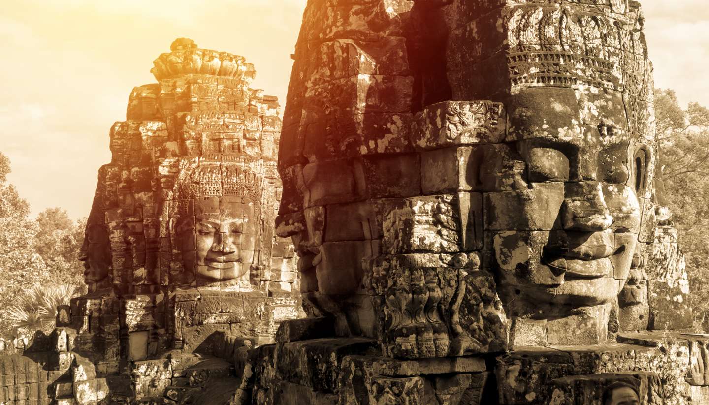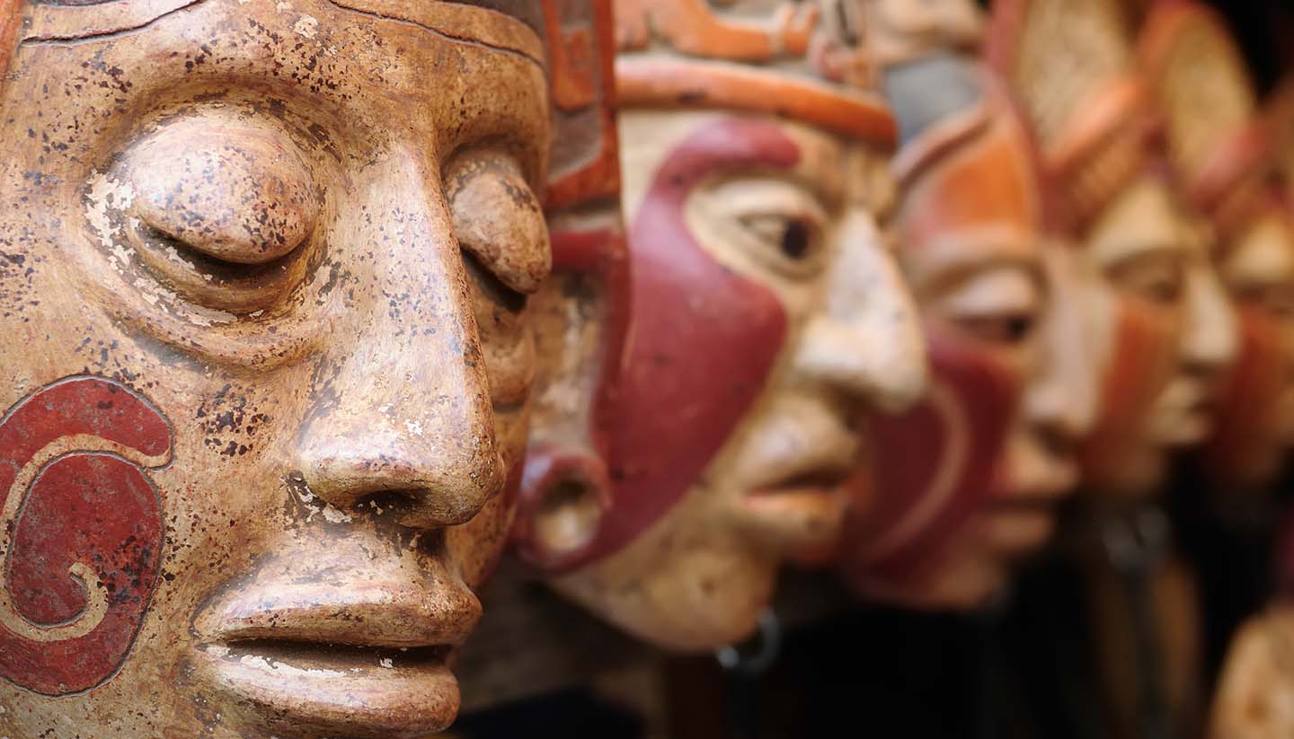

Guatemala Weather, climate and geography
Weather and climate
Best time to visit
Guatemala’s weather is eternally comfortable: neither too hot nor too cold. Its seasons tend to be divided into the dry season and the wet season, although the temperature,which averages 22°C (72°F) across the country, varies more according to altitude than by season. November through to April is the dry season and in the mountainous central region (Guatemala City, Antigua, Lake Atitlan, Chichicastenango, Cobán and the highlands) it is an ideal climate for outdoor pursuits with average temperatures of 18°C (64°F). It also coincides with the festivals of Semana Santa, Day of the Dead, the Burning of the Devil and the Saint Thomas festival in Chichicastenango.
The rainy season runs from May to October which can hinder travel in more remote areas where roads are not well maintained, with Petén receiving the most amount of rainfall. In higher climes, near the centre of the country, the rainy season, running from May to September, is characterised by clear skies after abundant rainfall in the afternoons and evenings. This means that travel during this time can be extremely pleasant, with less crowds and cooler temperatures. Temperatures can fall sharply at night.
The coastal regions and the northeast are hot throughout the year with an average temperature of 20°C (68°F) sometimes rising to as much as 37°C (99°F), although the Pacific coast has more unpredictable weather and rain is possible year round.
The busiest time of the year for tourism is between December and May when the dry season and festivals mean that much of the accommodation can be booked long in advance (especially in Antigua during Semana Santa). This is also a popular time for language learning and many North Americans come to study in the schools in towns such as Antigua and Xela.
Required clothing
Lightweight clothing. Jacket or light woollens for the evening. Waterproof jacket during rainy season. Hiking boots for outdoor activities.
Geography
Guatemala is the third largest country in Central America and shares borders to the north and west with Mexico, to the southeast with El Salvador and Honduras, to the northeast with Belize and the Caribbean Sea, and to the south with the Pacific Ocean. The landscape is predominantly mountainous and heavily forested, with narrow coastal plains and tropical, humid lowlands blanketed in rainforests, coffee and banana plantations.
A string of volcanoes rises above the southern highlands along the Pacific, four of which are still active. Within this volcanic area are basins of varying sizes which hold the majority of the country's population. The region is drained by rivers flowing into both the Pacific and the Caribbean; however one basin west of the capital has no river outlet and thus has formed Lake Atitlán, which is ringed by volcanoes. To the northwest, bordering on Belize and Mexico, lies the low undulating tableland of El Petén, 36,300 sq km (14,000 sq miles) of almost inaccessible wilderness covered with dense hardwood forest. This area covers approximately one-third of the national territory, yet contains only 40,000 people.