
Ecuador Weather, climate and geography
Weather and climate
Best time to visit
Ecuador has a highly changeable climate, which means that it can be variable at any time. Generally though, in the Sierra, there is little variation by day or by season, with changes occurring as you climb or descend instead. The coastal and Amazonian lowlands have a wet equatorial climate, but the higher you climb the colder it gets.
Rainfall is primarily affected by proximity to the eastern or western slopes of the Andes; in the west, June to September are drier with October to May typically wetter; in the east the opposite is true with October to February drier and March to September much wetter. There is also a variation in the amount of rainfall as you journey north to south, with the southern highlands much drier than the landscapes in the north. The coast can be enjoyed all year round, although it is cooler between June and November, when a sea mist known as garua sets in. January to May are consistently the hottest and rainiest months here. The Galapagos are also affected by garua between May and December; January to April here are the hottest months, with heavy but brief rainfall also possible. In the Oriente you can be affected by rainfall at any time, but it is wettest from March to September. Most cities are located in a comfortable subtropical zone.
Taking all of this into account, Ecuador’s high season is June to early September. There is a shorter tourist season from December to January as well. However, the country is still not overly busy at any time and it’s easy to engineer an escape from the crowds. The Galapagos however are often very busy and you must book well in advance to visit.
Required clothing
Lightweight natural fabrics; rainwear in subtropical areas. Warmer clothes are needed in upland areas. Make sure that you have good-quality, well-broken boots with plenty of ankle support for trekking or walking on uneven terrain.
Geography
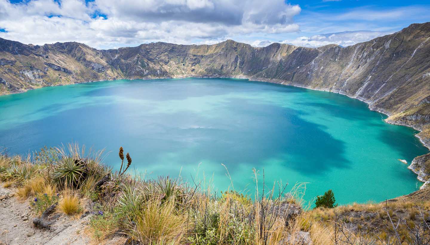
Ecuador comprises a number of very distinct, dramatic geographical regions. The Andes run north-south through the country and form a mountainous spine with a number of peaks over 5,000m (16,404 ft) and some climbing to 6,500m (21,325ft). There are two main ranges, the central Cordillera and the Western Cordillera, which are separated by the Central Valley. At 400km (249 miles) long, the valley is just 50km (31 miles) wide. Its two rims are connected by a series of high plateaux that are separated by a series of gentle ridges. Rivers from the peaks run east to the Amazon and west to the Pacific Ocean.
The rims of the valley are crowned with the cones of more than 50 volcanoes, many of which are active. The highest is Chimborazo at 6,310m (19,685ft), although this behemoth is now extinct. Cotopaxi is the highest active volcano in the world at 5,897m (19,347ft) but hasn’t had a major eruption since the 19th century. Pichincha on the other hand issued an enormous mushroom cloud in 1999, Reventador has erupted several times sine 2002 and Sangay continuously fumes and emits ash. Earthquakes are also common in this region.
The Sierra, or central highlands, is a central trough. Home to almost half the population, it is also where the oldest and most important cities are situated. The Costa, or coastal plain, in contrast is a lowland area with a belt of hillier ground north of Guayaquil. In the extreme north there is tropical rainforest, whilst in the south the forest thins out and becomes tropical dry forest.
East of the Central Cordillera the forest-covered slopes descend into the jungle of the Oriente. This vast region comprises about a third of Ecuador’s total surface area but is very sparsely populated and in fact home to just 5% of the population, most of whom are indigenous Indians or adventurous agriculturalists.
The Galapagos Islands lie 1,000km (621 miles) to the west of Ecuador, on the equator. These atolls are in fact the tips of massive volcanoes jutting above the sea and mark the point where two tectonic plates meet. Several of the islands are still active today; Fernandina, which last erupted in 2009, is the most active here. This extreme isolation is what has allowed the evolution of the unique flora and fauna found here.