
Hungary Weather, climate and geography
Weather and climate
Best time to visit
Hungary has a mild continental climate. There are four distinct seasons, with a very warm summer from June to August where temperatures can rise to as high as 35°C (95°F). Spring and autumn are mild, while winters are very cold, as low as -10°C (14°F), and not a good time to visit rural areas – although city breaks are enjoyable at any time of year. The south of the country around Pécs is a little warmer on average, although the region still experiences snowfall in winter. Annual rainfall is an average of 6cm (2.3 inches) and is relatively evenly distributed throughout the year, with snowfall common in winter.
Required clothing
Lightweights for summer, medium weight clothing for spring and heavier clothing for autumn and winter. Waterproofs can prove useful at any time of year. Long-sleeved shirts, trousers, boots and hats should be worn to protect exposed skin in forested, grassy and lakeside areas in summer to prevent bites from ticks.
Geography
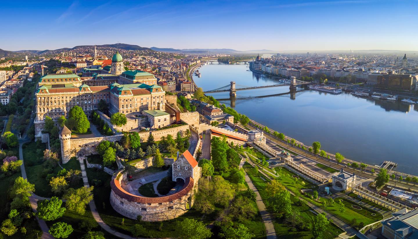
Hungary is situated in Central Europe, sharing borders to the north with Slovakia, to the northeast with Ukraine, to the east with Romania, to the south with Croatia and Serbia, and to the west with Austria and Slovenia.
Despite much of the country lying lower than 200m (656ft), there are several ranges of hills, chiefly in the north and west. The country’s highest point is Kékes in the Matra Mountains northeast of Budapest, which is 1,014m (3,327ft) high. Other, relatively low, mountain ranges include the North Hungarian Mountains, the Transdanubian Mountains and Mecsek north of Pécs. The lowest point, near Szeged in southern Hungary, is just 77m (253ft) above sea level.
The Great Hungarian Plain, which stretches northeast from the Danube to the foothills of the Carpathian Mountains, east to the mountains of Transylvania in Romania, and south to the Fruška Gora range in Serbia, covers more than half of Hungary’s total territory. It is flat and low-lying throughout, never exceeding more than 183m (591ft) in height. The Little Hungarian Plain is similar, but much smaller, and lies in northwest Hungary next to the Austrian and Slovakian borders.
Two major European rivers run through Hungary, the Danube and the Tisza. The former flows through Budapest on its way to the Black Sea via Croatia, Serbia, Bulgaria and Romania. The River Tisza, which has its source in Ukraine, flows south through Hungary into Vojvodina in northern Serbia, where it joins with the Danube. Both rivers are navigable in Hungary. Smaller rivers include the Rába, Szamos, Sío and the Drava, which largely defines the Croatian border.
Hungary has no coastline, but the country is home to Lake Balaton in west-central Hungary, which is sometimes referred to as the ‘Hungarian Sea’. Lake Balaton is a regionally important freshwater lake, the largest in Central Europe, with a surface area of 592 sq km (229 sq miles). At 78km (48 miles) long and up to 14km (9 miles) wide, it’s Hungary’s largest recreational area and a popular destination for both summer swimming and winter sports. Hungary also has two much smaller lakes: Lake Velence, which is a bird reserve, and Lake Fertö, which straddles the Austrian border near Sopron.