
Isle of Man Weather, climate and geography
Weather and climate
Best time to visit
The climate of the Isle of Man is temperate, with cool summers and mild winters. There is a considerable variation in rainfall over the island, although the average is high in comparison to the rest of the British isles, as the isle of Man is located to the west of mainland Britain and far enough from Ireland for moisture to accumulate on the prevailing south-westerly winds. The driest parts of the island are in the extreme south and over the northern plain, whilst the wettest are the hilly interior and Snaefell. However, frost and snow occur much less frequently than in other parts of the British Isles. Temperatures are consistently cool, although the recorded maximum is almost 29°C. The north of the island lies in a rain shadow and has higher levels of sunshine in general.
With consistent temperatures, the Isle of Man is a good year-round destination. However, April, May and June are the driest months, whilst May, June and July are the sunniest and July and August are the warmest.
Required clothing
You ought to take a range of clothing suitable for a variety of weather conditions. Ensure that you have waterproof and windproof layers as well as warmer clothing for the evenings. If you are going walking, make sure that you have comfortable, well-broken-in boots with good ankle support.
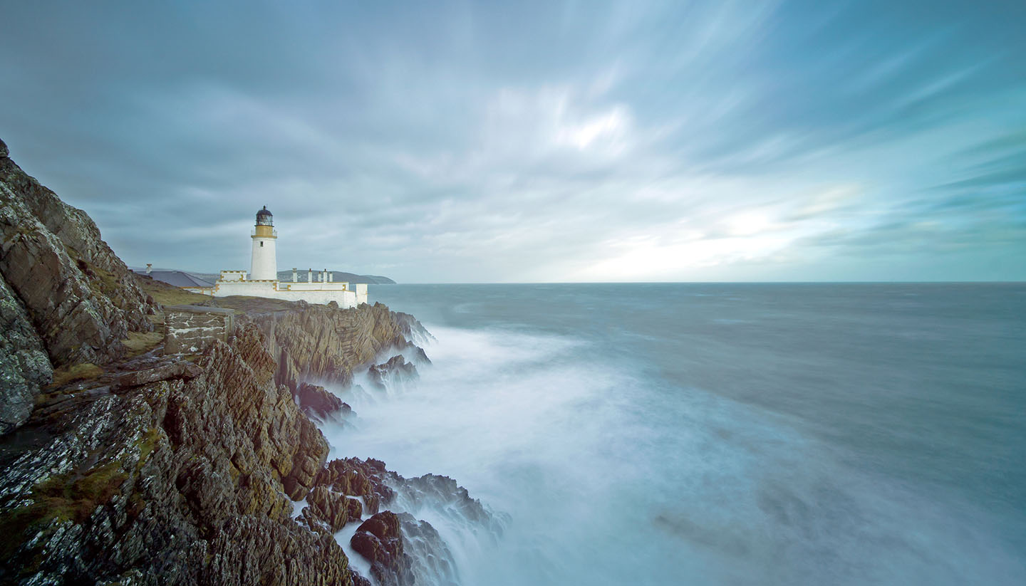
Geography
The Isle of Man is an island situated in the Irish Sea, between the United Kingdom and Ireland; modest in size, it is just 53km (33 miles) long and 21km (13 miles) wide. The main towns are located along the coastline, which totals 161km (100 miles) and is dented with small bays. Legend has it that the Isle of Man was created when the Irish giant Finn MacCooill hurled a boulder from Ireland’s coastline towards Scotland during a fight. The boulder fell into the sea and became the island.
The island’s terrain is varied; the larger part is formed from highly faulted and folded sedimentary rocks although there is an area of sandstone around Peel. Substantial deposits of copper, lead, silver, zinc and iron can be found on the island and there are also quarries of black marble, limestone, clay and granite. Over two-thirds of the land mass is cultivated.
There are two main mountainous areas separated by a central valley that runs from Douglas to Peel. The northern end of the island is a flat plain made up of glacial tills and marine sediment, which leads gently to the sea and long sandy beaches that contrast with the rocky cliffs found elsewhere. At 621m (2,036ft), Snaefell is the only mountain and the highest point on the island. In the south, the island is generally hillier, with distinct valleys. Wooded glens can be found all over the island, often leading to the sea. The longest river on the island is the Sulby, which is 16.9km (10.5 miles) long. Smaller islands and outcrops can be found off the coast, including the Calf of Man at the southern tip and St Patrick’s Isle by Peel.