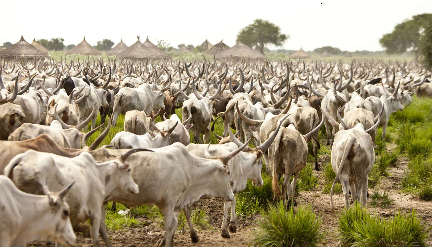
Geography
South Sudan is bordered by Sudan to the north, Ethiopia to the east, Kenya, Uganda and the Democratic Republic of the Congo to the south, and the Central African Republic to the west. The White Nile river runs from south to north through the country, joined by its major tributaries, the Bahr al-Ghazal and the Bahr al-Arab and the Sobat. The centre of the country is dominated by the Sudd, a 120,000 sq km (46,332 sq miles) marshland. This gives way to equatorial forest towards the south, rising to the jungle and the Imatong mountains on the Ugandan border, which include the country’s highest peak, Mount Kinyeti, at 3,187m (10,456ft).
