
Peru Weather, climate and geography
Weather and climate
Best time to visit
Peru's climate is defined more by altitude and geography than by season in the conventional sense, and the best time to visit depends significantly on which part of the country you plan to see. The broad pattern is that the coast is arid year-round, the Andes have distinct wet and dry seasons, and the Amazon receives rain year-round, with a pronounced wet season from November to March.
The dry season in the Andes, from May to October, is widely considered the best time for most visitors. This corresponds with the clearest skies, the most reliable weather for the Inca Trail and other treks, and the best conditions for wildlife viewing in highland areas. Temperatures in Cusco during the dry season range from around 18 to 20°C (64 to 68°F) during the day to below freezing on some nights from June to August. June, July and August are the peak tourist months and the most expensive, with Machu Picchu entry tickets and train seats selling out weeks or months in advance.
The wet season in the Andes, from November to March, brings regular afternoon rain and occasional morning mist at the major sites. Machu Picchu in particular is frequently cloud-shrouded in January and February, which is both atmospheric and frustrating for photographers. However, the landscape is greener, the orchids are in bloom and the crowds are significantly thinner. February is the least visited month of all, and travellers who arrive in the early morning on clear days can have the ruins nearly to themselves.
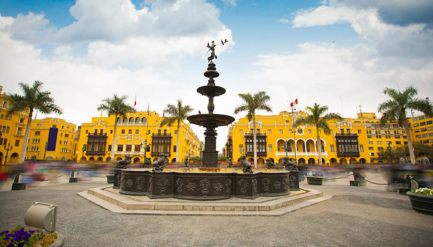
Lima is subject to garúa, a coastal fog and fine mist that settles over the city from May to November, driven by the cold Humboldt Current. Temperatures in Lima are mild throughout the year, between 15 and 28°C (59 to 82°F), but the grey overcast skies of winter can make the city feel less appealing to visitors expecting a tropical atmosphere. The summer months of December to April bring clearer, warmer days to the coast. The northern coast, including Máncora, has sunshine and warm swimming conditions from November to March, when the rest of Peru is in its wet season.
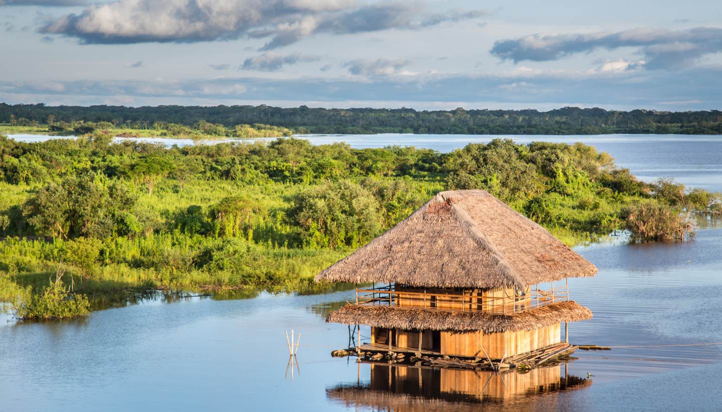
The Amazon basin receives significant rainfall year-round, but the distinction between the high-water season (November to March) and low-water season (May to October) matters for the type of experience available. High water allows access to flooded forest and the possibility of seeing wildlife at close range from canoes through the forest canopy. Low water concentrates animals around rivers and lakes and makes overland walking easier. Each season has genuine advantages; choosing between them depends on the type of Amazon experience you are seeking.
Required clothing
Packing for Peru requires planning for a greater range of environments and temperatures than almost any other destination. Lima in summer requires light cotton or linen, while the same visitor at Machu Picchu may be in rain gear and the next day in Cusco will need a warm fleece for the evening. The practical approach is to pack in layers, with lightweight breathable items for the base, a mid-layer for highland evenings, and a waterproof outer layer for rain anywhere in the country.
For the Andes, the combination of strong sun and cold temperatures is important to prepare for. Even in the dry season, the sun can be intense, and sunburn through light cloud is common; a broad-spectrum SPF50 sunscreen is essential. Lip balm with SPF, good sunglasses and a hat with a brim are practical necessities rather than optional extras. At the same altitudes, evenings are cold even in summer, and a warm jacket or fleece is needed once the sun goes down.
For the Amazon, lightweight, quick-drying, long-sleeved shirts and trousers are strongly recommended for both sun protection and mosquito defence. Dark colours are somewhat more attractive to insects; lighter neutrals are better. Sturdy waterproof sandals or boots are useful depending on the type of activities, and a compact rain poncho covers most eventualities. Rubber boots are often provided by jungle lodges for forest walks.
On the coast, casual summer clothing serves for Lima and the beach towns. Windproof layers are useful for cliff walks at Paracas, where the desert wind can be strong. For visits to Arequipa and the Colca Canyon, temperatures are moderate at 2,300 metres (7,546 ft) in the city but considerably colder at the high-altitude viewpoints above 4,000 metres (13,123 ft); a warm jacket is required at Cruz del Cóndor in the early morning regardless of the season.
Geography
Peru is located on the western side of South America, bordered by Ecuador and Colombia to the north, Brazil and Bolivia to the east, and Chile to the south, with a long Pacific coastline to the west. The country divides broadly into three distinct geographical zones running parallel from north to south: the Costa, a narrow coastal desert plain; the Sierra, the highland Andean interior; and the Selva, the Amazon rainforest that covers more than 60% of the national territory.
The Costa is one of the driest places on earth, kept arid by the cold Humboldt Current, which suppresses moisture-bearing clouds. It is narrow, averaging about 80 kilometres in width, but it contains the majority of Peru's population, most of its industry and its largest cities including Lima. River valleys crossing the coastal plain from the Andes to the sea support intensive irrigated agriculture.
The Sierra is a complex of parallel mountain ranges, high valleys and plateaus. The main ranges of the Cordillera Occidental and Cordillera Oriental enclose the altiplano in the south, the high plateau shared with Bolivia where Lake Titicaca sits at 3,812 metres (12,507 ft). Peru's highest peak is Huascarán in the Cordillera Blanca at 6,768 metres (22,205 ft). The Selva descends from the eastern slopes of the Andes into the vast, flat Amazon basin, which contains the upper tributaries of the Amazon River and most of Peru's remaining undisturbed primary forest.