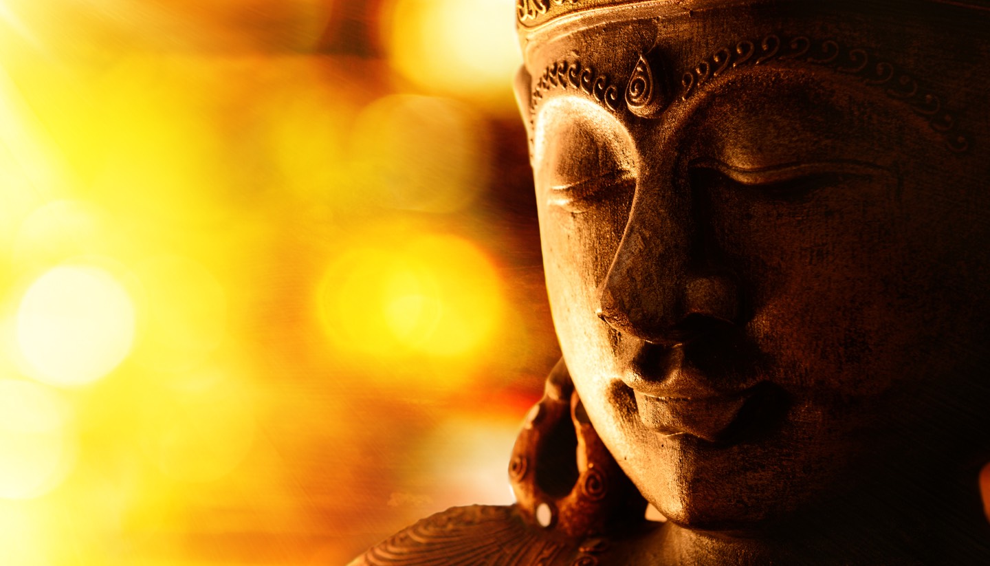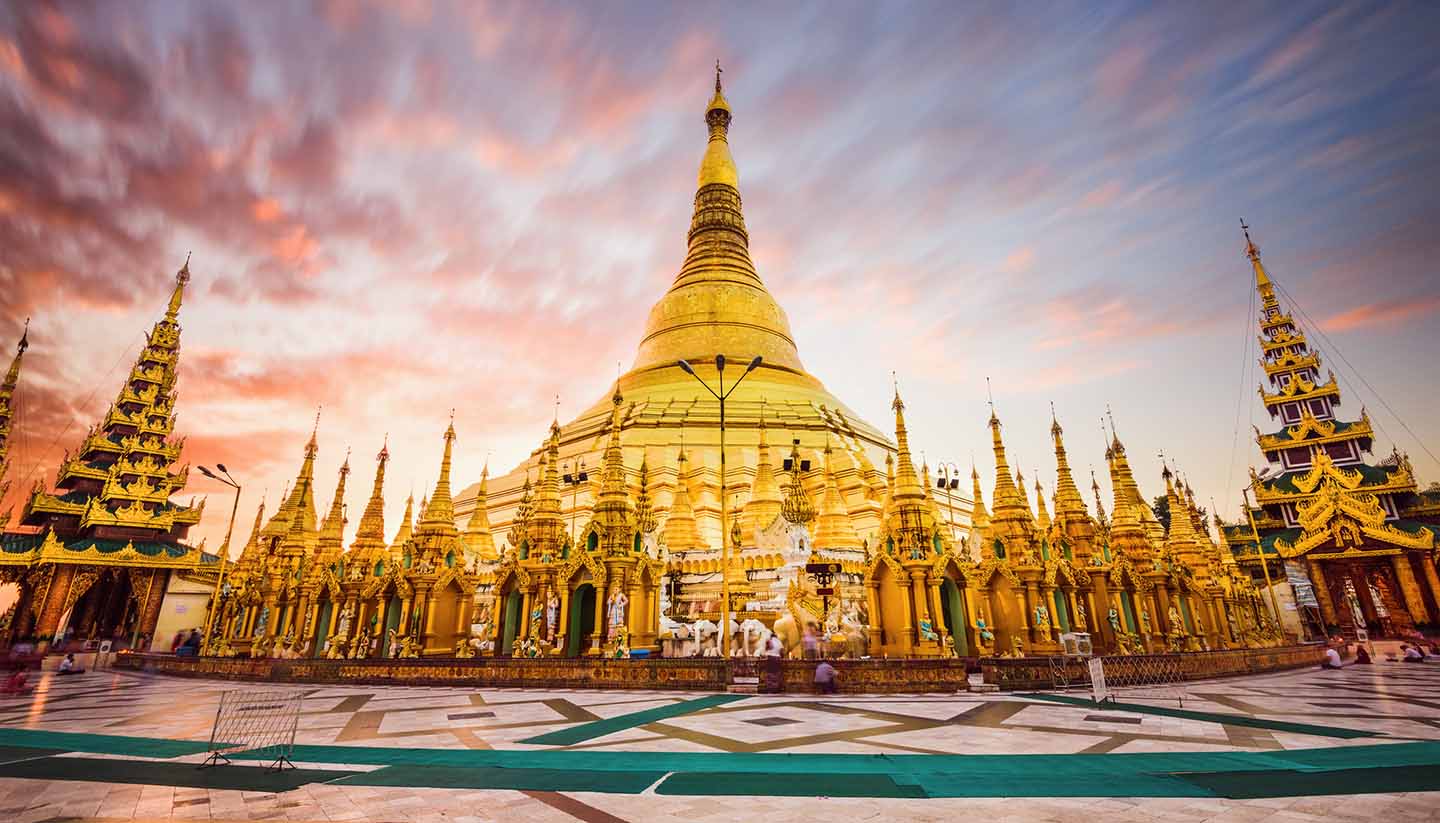

Myanmar Weather, climate and geography
Weather and climate
Best time to visit
Myanmar has a monsoon climate with three main seasons. The hottest period is between February and May, when there is little or no rain and temperatures can rise above 40°C (104°F). The rainy season is generally from May to October, giving way to dry, cooler weather from October to February. The coast and the mountains see significantly more rainfall than the arid central plains, which include Mandalay and Bagan, and roads can become impassable during the rainy season in those areas.
Overall, the best months to visit are from November to February. The only notable downside (other than the fact that places are busy with other tourists) is that river travel can be slow as water levels are low, meaning that boats have to travel more slowly; this is particularly notable on long journeys as ferries cannot travel overnight for fear of being grounded on sandbanks.
Required clothing
Lightweight cottons and linens are recommended throughout most of the year. A light raincoat or umbrella is needed during the rainy season. Warmer clothes are advised for cooler season and some evenings, particularly in hilly areas, on ferries or for trips on Inle Lake. It's also a good idea to wrap up when travelling on buses, as the drivers tend to overuse the air-conditioning.
Geography
Myanmar is roughly diamond-shaped – with a long southeastern ‘tail’ – and extends 925km (575 miles) from east to west and 2,100km (1,300 miles) from north to south. It is bounded by China, Laos and Thailand in the east, by Bangladesh and India in the north and by the Indian Ocean in the west and south. The Irrawaddy River runs through the centre of the country and fans out to form a delta on the south coast; Yangon stands beside one of its many mouths.
North of the delta lies the Irrawaddy basin and the arid plains of central Myanmar, which are protected by a horseshoe of mountains rising to over 3,000m (10,000ft). To the west are the Arakan mountains and the Chin, Naga and Patkai Hills; the Kachin Hills are to the north; to the east lies the Shan Plateau, which extends to the Tenasserim coastal ranges. The Kachin range includes Southeast Asia’s highest mountain, Hkakabo Razi which reaches 5,881m (19,295ft).
Intensive irrigated farming is practised throughout central Myanmar, and fruit, vegetables and citrus crops thrive on the Shan Plateau. Much of the land and mountains are covered by subtropical forest, although this coverage has been reduced by extensive logging particularly for teak.