
Germany Weather, climate and geography
Weather and climate
Best time to visit
Germany is the seventh largest country in Europe, stretching from the Alps, across the North European Plain to the Baltic Sea. Its climate, however, varies little from north to south. Most of Germany has a temperate seasonal climate moderated by the North Atlantic Drift. Overall, Germany is a year-round destination with warm summers and relatively cold winters – although prolonged period of frost is rare. Rain falls throughout the year, with much of Germany experiencing its maximum rainfall over the high summer months.
The highest annual temperatures tend to be in the southwest, where there's almost a Mediterranean feel to the landscape at times and where new heat records are reached almost every year. Unsurprisingly, this is where much of Germany's wine is grown.
May through to September are the most popular months in terms of tourist numbers, and certainly hold the most appeal for visitors aiming to spend significant periods of time outdoors. However, April and October (the shoulder months) also hold real attraction for those who want the promise of mild weather without the tourist levels. The winter holidays are also a big draw in their way, as tourists flock to charming Christmas markets scattered across the country. Peak season for ski areas is from December through to the end of March.
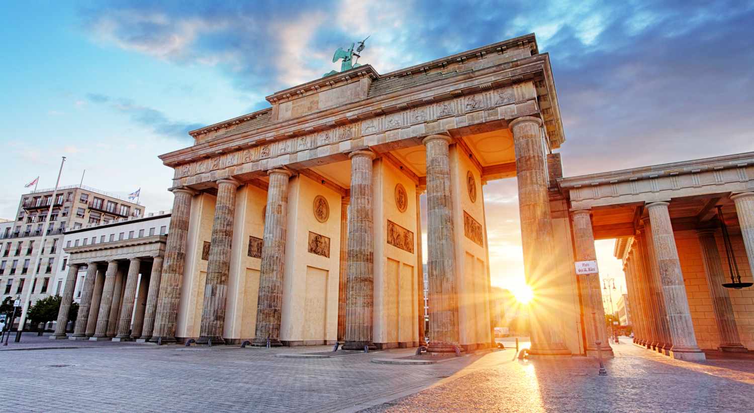
Berlin is the capital and the largest city in Germany. Geographically it sits in north-eastern Germany and has a temperate continental climate. Berlin's summer is warm with average high temperatures of 23°C (73°F). June and August are rainy too so pack a raincoat with you. Berlin's winter is quite mild with average high temperatures of 3°C (37°F). Home to world-renowned attractions, Berlin rarely witnesses 'slow' periods at any time of year, though prices tend to be slightly higher over the summer months. For more information, see the weather in Berlin and the best time to go guide.
Located in west Germany in the Rhine-Ruhr area, Cologne is one of the warmest cities in Germany due to its low lying position. Spring and autumn are the best times to visit Cologne with temperatures averaging 14°C (57°F) in May and 15°C (59°F) in September. The city is aswarm with visitors during "Crazy Days" (before Shrove Thursday which falls in February or March) where people dress up and participate in balls and parades. For more information, see the weather in Cologne and the best time to go guide.
Frankfurt is Germany's hub for commerce and transportation. The city occupies both sides of the Main River and is a year-round destination known for its trade fairs. Summer is warm with average high temperatures of 25°C (77°F). Winter is mild, although it can often get to -1°C (30°F) in the evening. For more information, see the weather in Frankfurt and the best time to go guide.
Hamburg is a major port city in northern Germany with a maritime temperate climate. Due to its location, Hamburg is slightly cooler than Berlin which is about 500km (311 miles) south. August is the warmest month and sees an average high of just 22°C (72°F), while winter is cold (although it is also getting milder with less snowfall due to global warming). The daily mean in January is 1°C (34°F). For more information, see the weather in Hamburg and the best time to go guide.
For other destinations in Germany, see the following guides:
Required clothing
Light- to mediumweights in summer, medium- to heavyweights in winter. If you intend to visit the mountains or if you plan a long-distance hike, then pack waterproof gear and extra layers with you, no matter what the time of year.
Geography
Germany borders Austria, Belgium, Czech Republic, Denmark, France, Luxembourg, The Netherlands, Poland and Switzerland. The northwest has a coastline on the North Sea while the Baltic coastline in the northeast stretches from the Danish to the Polish border.
The country is divided into 16 states (Bundesländer) and has an exceedingly varied landscape. In what was once known as West Germany, the Rhine, Bavaria and the Black Forest stand as the three most famous features, while in the east, the country is lake-studded with undulating lowlands. River basins extend over a large percentage of the region, and some of Europe’s most prominent rivers flow through the country. These include the Elbe, the Danube and the Rhine.
The highest point in the country is the 2,962m (9,718ft) peak of Zugspitze Mountain in the Bavarian Alps. Cable cars run to the summit – it can also be climbed.